Nerinjipettai Viewpoint
Share on WhatsApp

Nerinjipettai Viewpoint

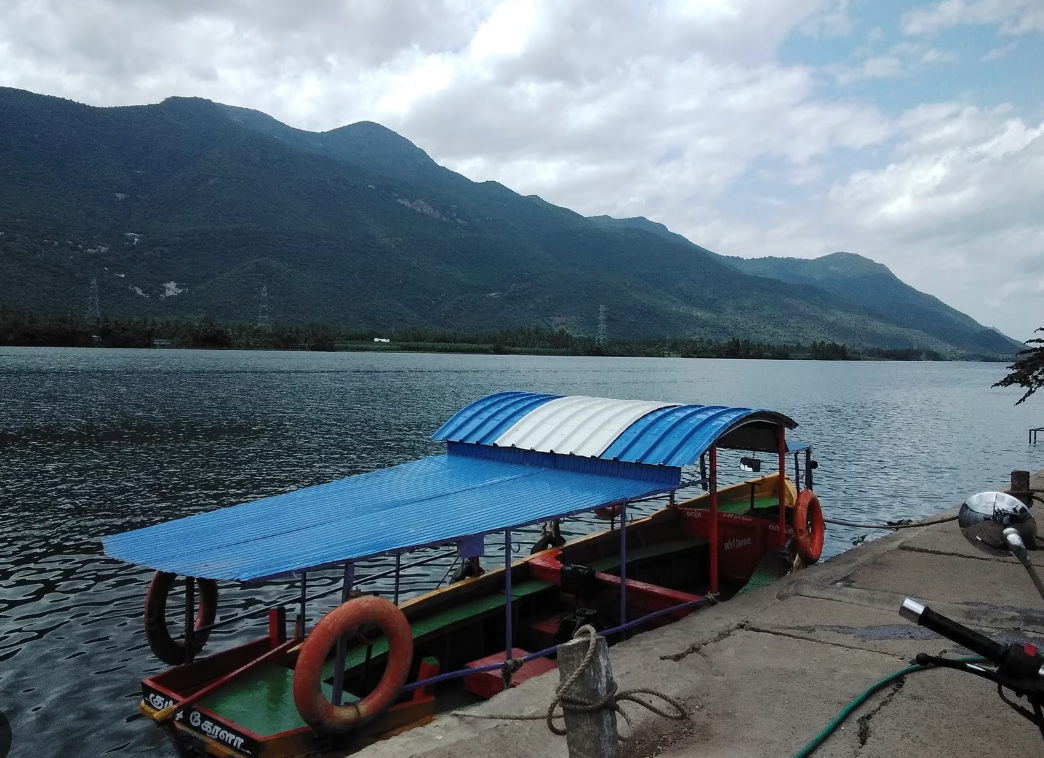
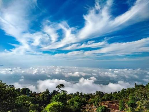
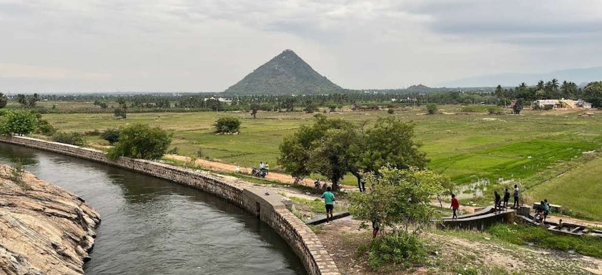
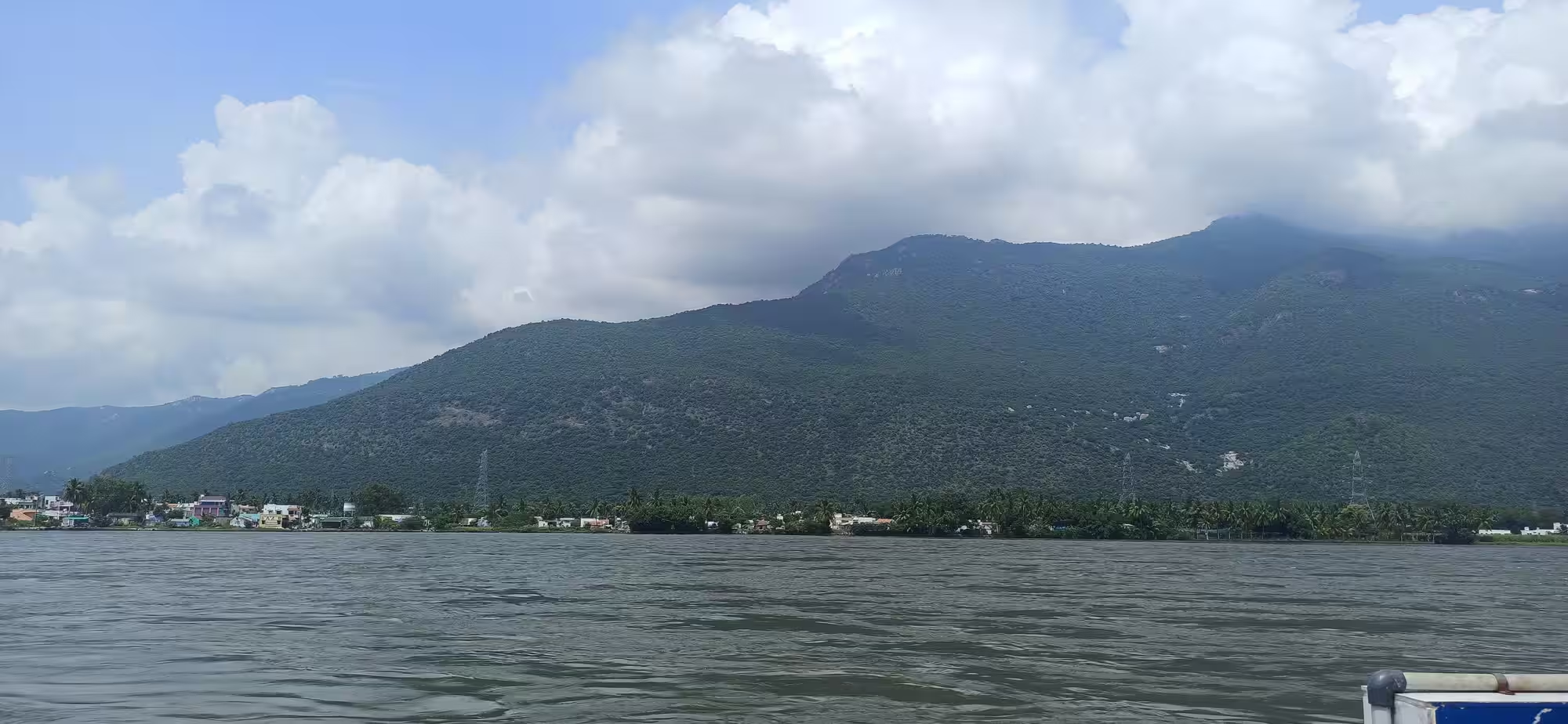
Discover the serene beauty of Nerinjipettai, offering panoramic views of hills and the Kaveri River, a tranquil escape in Erode's 'Turmeric City'.

⭐ 4.7 Nature & Scenic πŸ“ Area: Nerinjipettai πŸ™οΈ Erode πŸ“ Tamilnadu
β˜€οΈ
Best Time October to March
🌿
Category Nature & Scenic
πŸ“
Area / Region Nerinjipettai
🎫
Entry Fee

Free

⏰
Open Hours

Generally accessible during daylight hours; early mornings and late afternoons recommended for best views.

πŸ—ΊοΈ Get directions to Nerinjipettai Viewpoint (Google Maps)

About this Place

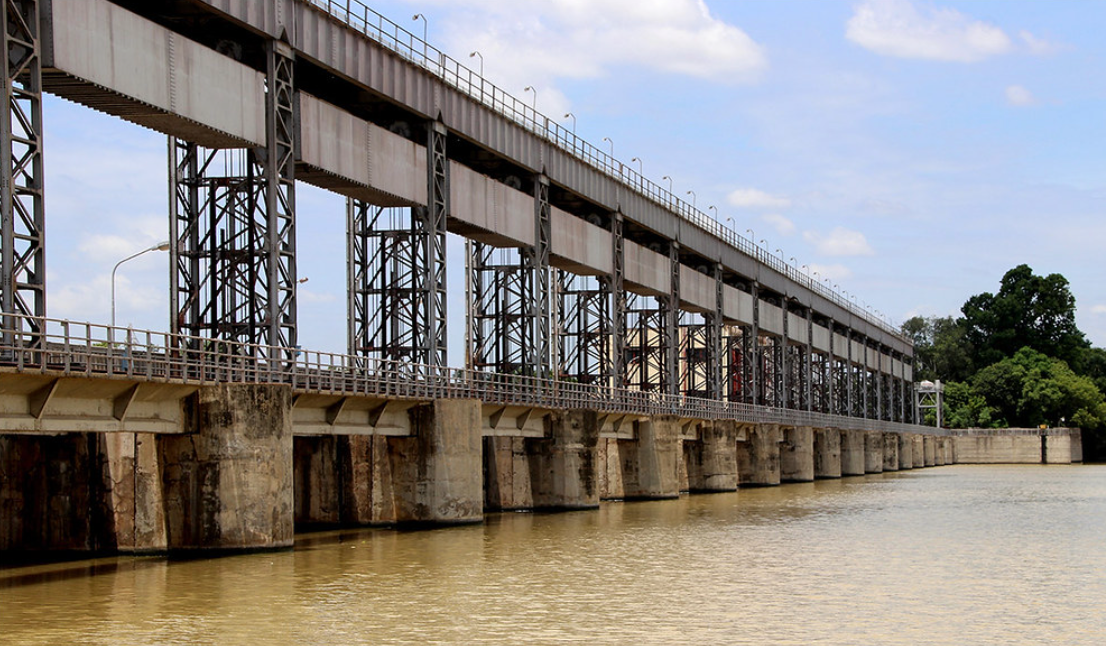
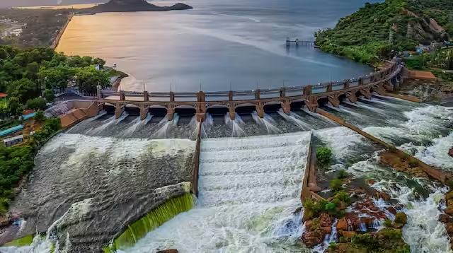
Nerinjipettai, located in the Erode district, offers picturesque views of the surrounding natural landscape, including hills and the Kaveri River.

Cauvery River View Point offer panoramic vistas, making it an ideal spot for nature lovers and photographers. The area is characterized by lush greenery and a tranquil atmosphere, reflecting the agrarian and textile-rich heritage of Erode.

πŸ›‘οΈ Verified Travel Resource πŸ“… Last Updated: August 02, 2026 10:14 PM (Local Time)

Ideal For & Recommended Visitors

πŸ‘₯ Nature Lovers
πŸ‘₯ Photographers
πŸ‘₯ Photography Enthusiasts
πŸ‘₯ Peace Seekers
πŸ‘₯ Local explorers
πŸ‘₯ Peaceful retreats
πŸ›‘οΈ Local Travel Support

Want a hassle-free trip to Nerinjipettai Viewpoint?

Book an authenticated local travel supporter for 1-on-1 accompaniment, custom daily itineraries, local language translation, and registered commercial transport coordination.

Meet Your Local Supporter

β˜€οΈ Optimal Season to Visit

The cooler months from October to March offer pleasant weather, making it ideal for sightseeing and outdoor activities without the discomfort of intense heat or heavy monsoon rains. The skies are generally clear, providing excellent visibility for panoramic views.

How to Reach

Nerinjipettai is accessible by road. Here are the approximate distances from key transport hubs:

  • Nearest Airport : Salem Airport is approximately 56 km away.

  • Nearest Railway Station: Erode Junction is approximately 41 km away.

  • Nearest Bus Stand : Bhavani bus stand Approximately 25 km away.

Nerinjipettai Viewpoint – FAQs

What are the timings of Nerinjipettai Viewpoint?

Generally accessible during daylight hours; early mornings and late afternoons recommended for best views.

What is the entry fee for Nerinjipettai Viewpoint?

Free

What is the best time to visit Nerinjipettai Viewpoint?

October to March

How to reach Nerinjipettai Viewpoint?

Nerinjipettai is accessible by road. Here are the approximate distances from key transport hubs: Nearest Airport : Salem Airport is approximately 56 km away. Nearest Railway Station: Erode Junction is approximately 41 km away. Nearest Bus Stand : Bhavani bus stand Approximately 25 km away.

Where is Nerinjipettai Viewpoint located?

Nerinjipettai Viewpoint is in Nerinjipettai, Erode, Tamilnadu (GPS: 11.65607, 77.76).

πŸ“œ Historical Context

Nerinjipettai is part of the Erode district, a region with a rich history dating back to the Pandyas around 590 CE. Historically known as 'Kongu Nadu,' it was ruled by various dynasties including the Rashtrakutas, Cholas, Chalukyas, Hoysalas, Delhi Sultanate, Vijayanagar Empire, Madurai Nayaks, and Mysore rulers (Hyder Ali and Tipu Sultan), before British control.

Erode's culture is predominantly Tamil, known as the 'Turmeric City' and 'Loom City' for its production and textile industry. Traditional Tamil attire, Bharatnatyam, and Carnatic music are integral, with major festivals like Pongal celebrated enthusiastically.

Panneer Selvam
πŸ›‘οΈ Local Travel Support

Explore Nerinjipettai Viewpoint with Panneer Selvam

Get on-ground guidance, local transport coordination, temple pass assistance, and custom trip planning across Tamilnadu.

Book Travel Supporter →
πŸ›‘οΈ Local Support Available βœ“ ID Verified
Panneer Selvam

Panneer Selvam

Based in Coimbatore Β· 9+ years exp

Local travel support across Tamil Nadu

Day Support β‚Ή3,800/day
Custom Itinerary β‚Ή1,500

🏷️ Related Tags & Topics

Click any tag to search related destinations:

πŸ“ GPS Accurate Map

GPS Coordinates: 11.65607065, 77.75999910

πŸ’¬ Plan a Custom Trip

Need a custom local guide, verified hotels booking, or local tempo traveler/taxi rental for Nerinjipettai Viewpoint? Let's personalize it for you!

πŸ’¬ Chat with Travel Expert